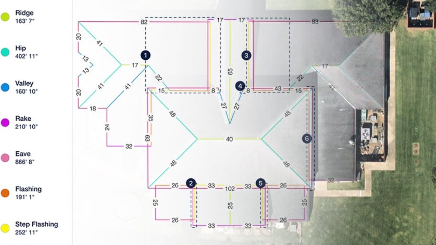
Get Accurate Measurements AND Estimates in Minutes: Satellites are more accurate than the most experienced contractor’s hands. You’ll get EXACT measurements of your roof with no human error. We’ll even provide an estimate for costs based on the average roofing materials.
Why choose our aerial roof measurements?
Is Google Earth a good way to measure your roof?
Drone Inspections Improve the Accuracy and Consistency of Roof Measurements
From twisted tape measures to inconsistent endpoint selection, to inaccessible edges, it’s difficult to maintain accuracy and consistency within a set of roof measurements.
But where human ability falls short, machine learning now picks up the slack. Solutions like Sky Roof Measure use the latest advances in drone mapping technology to take accurate measurements of square footage, roof features, pitch, surface area, and slope in a matter of minutes. And rigorous tests have shown these measurements to be consistently 99.4% accurate.
No more worrying about inaccurate data or having to return to a site to gather missed information. The solution uses a set protocol for selecting endpoints, so measurements are complete and consistent throughout an entire project.
Benefits of Roof Report From Drone
- Automate the collection of high-resolution roof imagery
- Generate accurate roof reports with the click of a button
- Take consistent, accurate measurements of square footage, roof features, pitch, surface area, and slope
- Access a PDF file for easy sharing and collaboration
- Export a roof geometry DXF file compatible with your existing tools for CAD analysis and design
- 3X faster than traditional methods
- Collect data in a consistent, repeatable way


