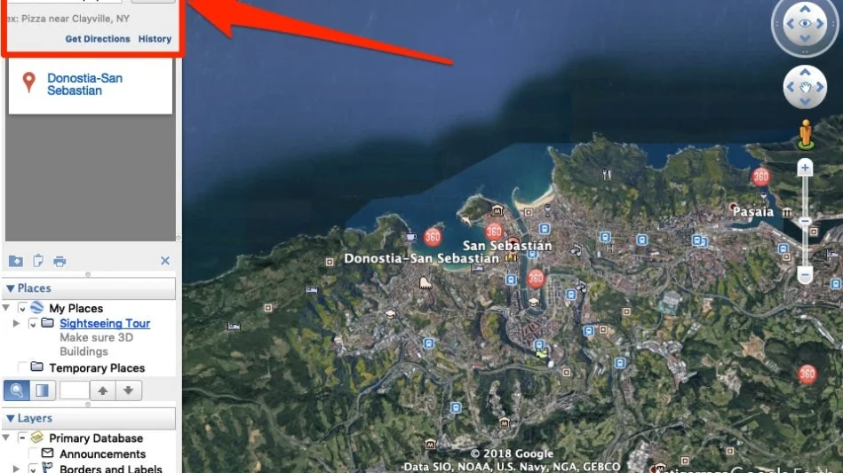
You can measure distances between locations and along paths. You can also measure the size of polygons that you draw in Google Earth. Note: Measurements may not be 100% accurate, especially in areas with 3D terrain and buildings.
In the bottom left, select Mouse Navigation. Click the tab for what you want to measure. On the map, hover over a spot and click a starting point for your measurement. Google Earth uses digital elevation model (DEM) data collected by NASA’s Shuttle Radar Topography Mission (SRTM), enabling 3D view of the whole Earth.
Call us: (315) 926 1777
Email: info@skyroofmeasure.com
This study confirmed such measurement accuracy to distances over 2000 feet. On-road, off-road, and curved path measurements from Google Earth Pro presented an average error rate of 1.45%, 1.61%, and 1.73%, respectively, compared to manually rolled measurements from over 1300 global samples.
Google Earth does not show the scale directly. To enable it, click on 'View' in the menu bar and select 'Scale legend'. The scale will appear in the bottom left and will adjust based on zoom level.
Yes, Google Earth and other GIS tools can show parcel boundaries and property lines. Google Maps may also display them when zoomed in close enough.
Yes, Google Earth allows users to check altitude, latitude, and longitude. You can also view the elevation using the scale bar and terrain view options.
