
Satellite and Drone Imagery: Comparing satellite imagery with today’s aerial imagery isn’t as easy as it once was. All factors are advances on many fronts including computing, infrastructure, information, hardware, and software not to mention the cost. Perhaps the best analogy lies in aligning convergence toward usefulness for each of these.
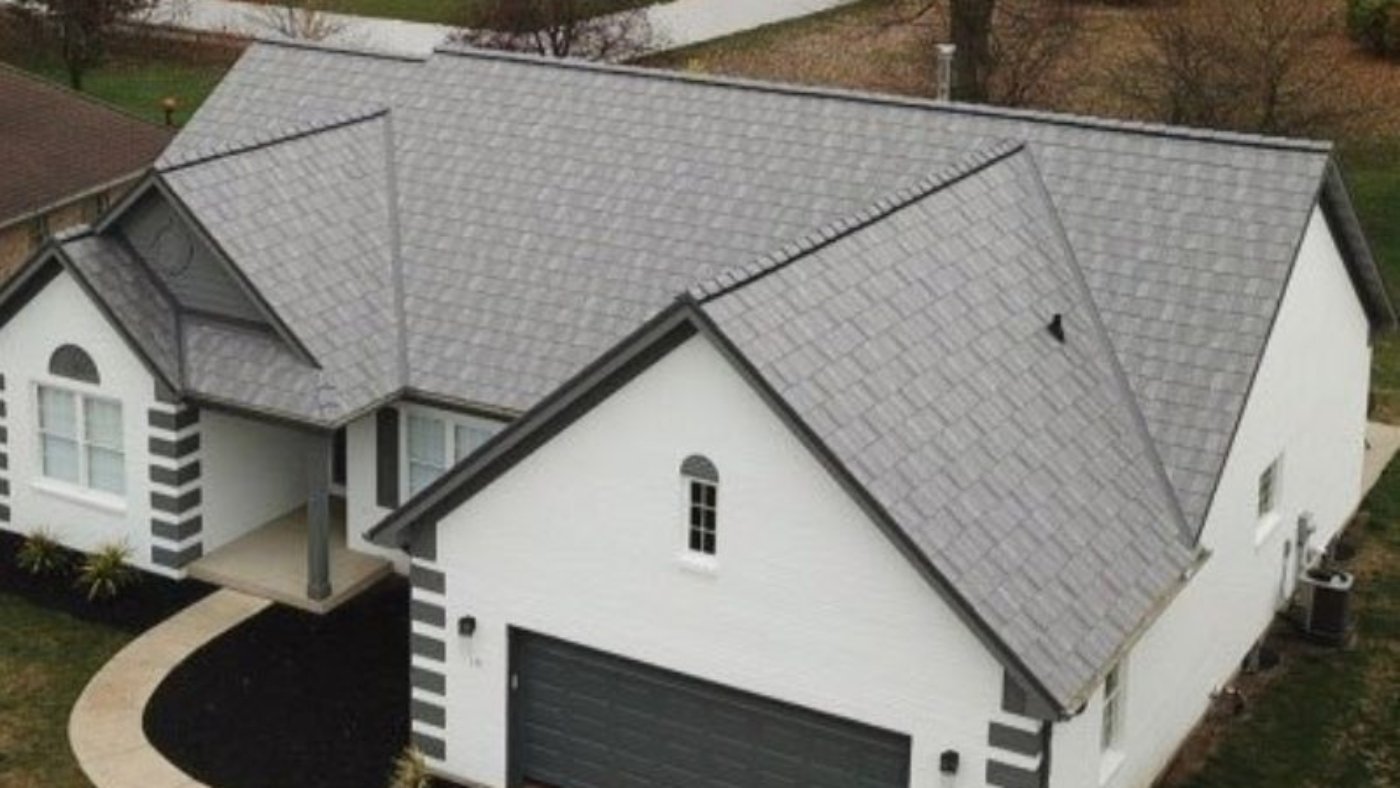
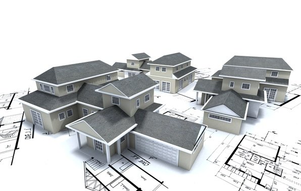
Roof measurements need to be accurate and precise, this requires High-resolution imagery and 3D representations.
Accurate Roof Measurements
Drones can obtain faster and more accurate Imagery than satellite imagery and for timely assessment of the property to provide immediate feedback to the client to take action. Historical data detection helps diagnosis and corrective action.
High-resolution Drone-based imagery allows for much better identification, evaluation, continuous monitoring, and corrective action than satellite imagery with low resolution. On the other hand, satellite imagery helps for vast site measurements and historical data analysis.
Drone Roof Measurements : Sky Roof Measure
But the differences in revisitation are critically important. And these decisions are highly oriented to the application at hand. It is now hard to imagine clients accepting imagery of any kind only with low-res imagery and basic satellite site mapping report. Satellites offer resolutions ranging from 30 cm to several meters. In general, the higher the resolution offered by a satellite, the lesser territory its images will cover.
Satellites and drones in the air are not opposite technologies, in fact, the two sources of information are used to power similar applications and their data can be complementary. This is why Sky Roof Measure combines satellite and High-resolution 3D imagery to provide in-depth and diverse data for your customers.
More Relevant Pages :


Leave A Comment
You must be logged in to post a comment