Call Us +1 (940) 233-5566
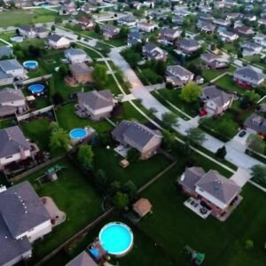
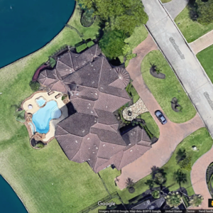
Efficient, cost-effective roofing work depends on your ability to quickly and accurately gather measurements and assess the current roof condition. Improve your responsiveness to customers by replacing countless site visits with online roof measuring tools using recent aerial photos. Take traffic and safety risk out of the equation and produce fast, accurate quotes with the power of high resolution aerial maps.
It’s quite a challenge to fly over the right location during the perfect window in time late winter or early spring. You want the capture to be snow-free, but must act quickly before the trees go green. You also need cooperative clear skies and adequate daylight – more difficult during short winter days. However detailed aerial capture plans may be, survey teams must still adapt on the fly and follow opportunity. You must learn to adapt quickly, and nimbly deploy aerial assets as opportunities present.
Take Chicago, for example – the time between last snow and first bloom can often be measured in days, or at best a few weeks. Clear weather aerial capture is difficult, but the ability for roofers to accurately measure what’s typically obscured by nature is essential.

Aerial vs. Satellite vs. Drones
There has been a move away from the satellite imagery that dominated measuring and site-surveying for the previous decade. There’s a couple of reasons for this, the main one being quality. No matter how good the camera on a satellite may be, it’s still in outer space. By being closer to the earth’s surface, a high-quality camera on an airplane is going to capture a clearer, sharper image.
What about imagery from a drone? With drone-captured imagery, you have the same problem you have with satellite captures, distance. Drone cameras historically have had wide-angle lenses, causing distortion of rooflines at low altitudes. We have no problem with drone-captured imagery, it’s often the best, and sometimes the only source for rural addresses that lack coverage by satellite and aerial imagery. To overcome the distortion, we suggest flying your drone to a minimum altitude of 400 feet. At that height, any visible distortion should be negligible, and you can make good use of your up-to-date drone imagery! That leads us to our next point…

3D Model, Because Only a Good Picture is Worth a Thousand Words
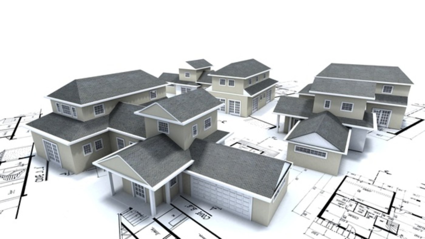
Aerial imagery provides distorted, flat one-dimensional images that are often taken at a poor viewing angle. HOVER’s technology creates a highly accurate interactive 3D model of your project that streamlines communication on the job. Whether you’re pitching a prospective client, planning with your superintendent or installation group, HOVER’s 3D model is an invaluable asset for your entire process, from sales through completion.
Simply put, aerial measurements cannot compare to the accuracy and detail available with Sky Roof Measure’s timely, convenient features. Save time and money and surpass your client’s expectations when you base your projects on Sky Roof Measure measurements and models.

Remote Aerial Roof Measurement is Here Today
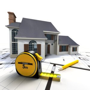
It’s true that the nail gun didn’t replace the hammer. That said, no professional is going to attempt to put on a roof without an air compressor nearby. The same can be said for measuring roofs from your desk… it’ll never replace a measuring tape completely but it sure gives you a head start. Please, take a moment to learn how Sky Roof Measure can improve your bottom line while keeping you off unprofitable roofs. Aerial roof measurements are here. Now is the time to save time, money, and allow your business to run at a much higher profit margin.


Leave A Comment
You must be logged in to post a comment