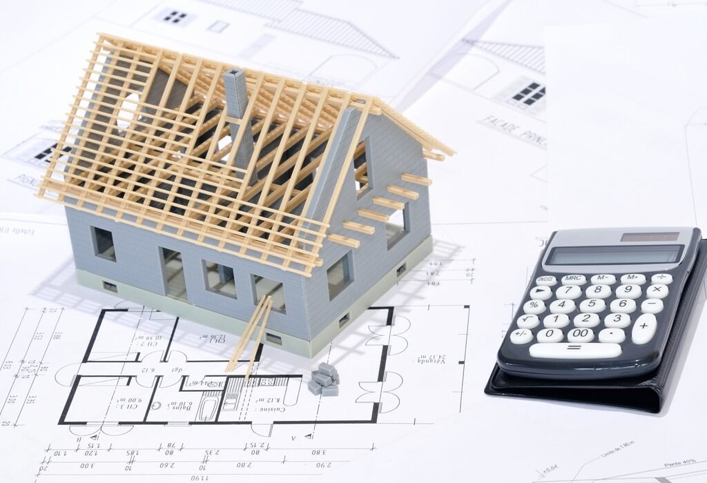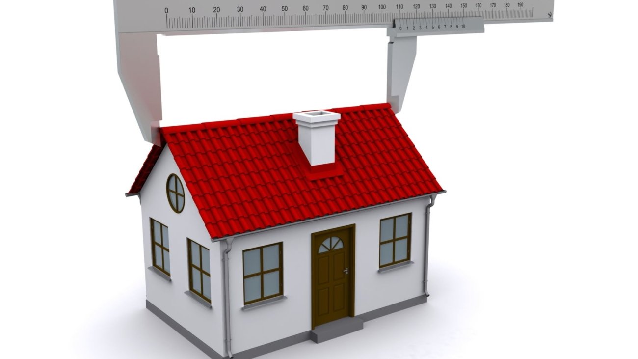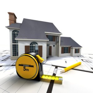
To calculate your roof area, multiply the roof length by the slope height, then multiply the result by two. This gives you the total area for a standard gable roof. Keep in mind, this is a basic estimate and doesn’t account for chimneys, skylights, or complex roof shapes. For accurate results, consider using aerial measurement tools or professional services.
Satellite Roof Reports: Features of a Roof Report
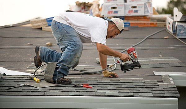
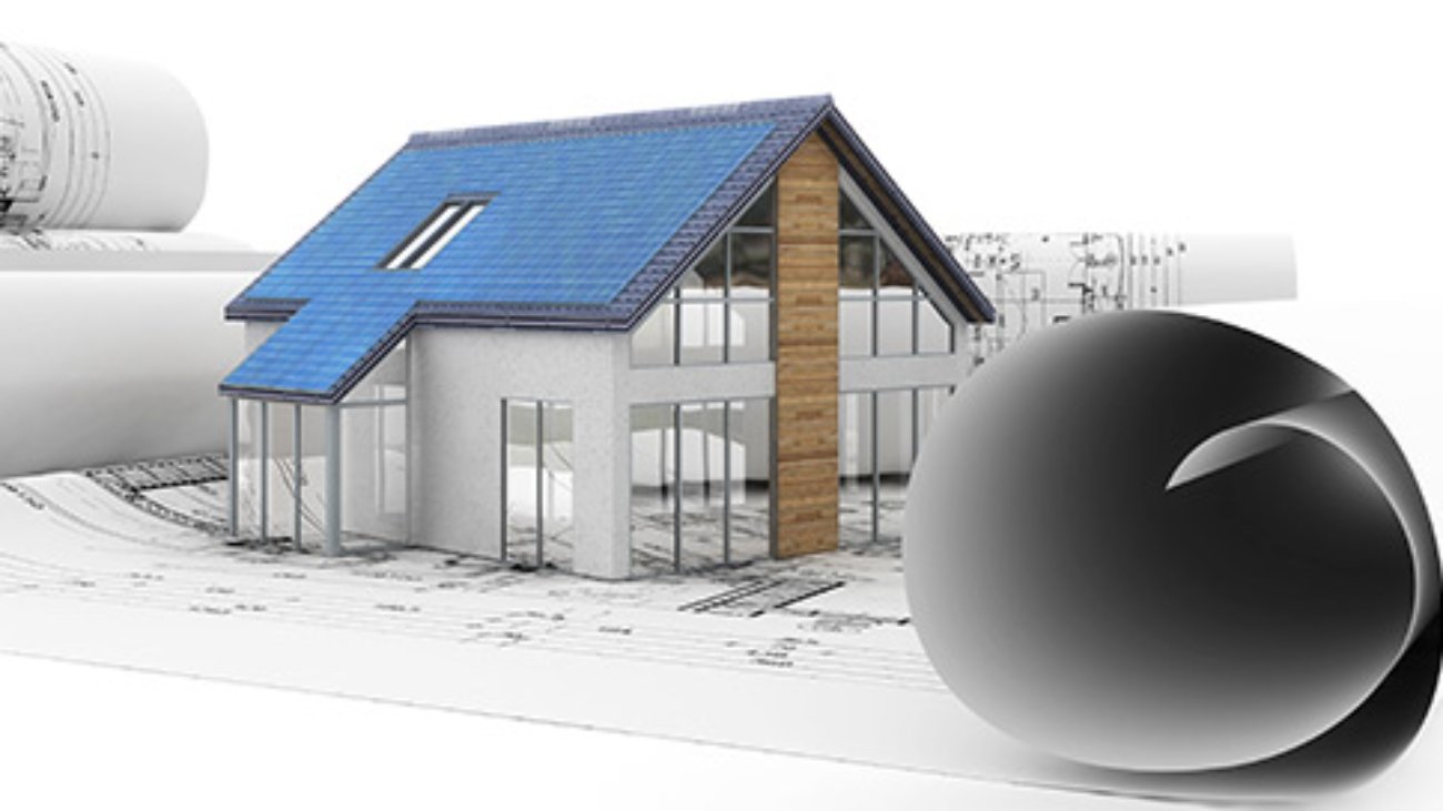
1. Introduction to Satellite Roof Reports
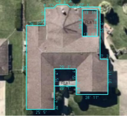
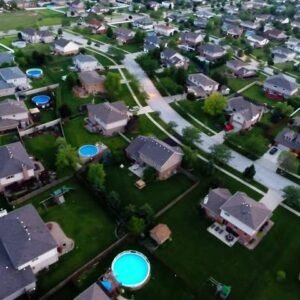
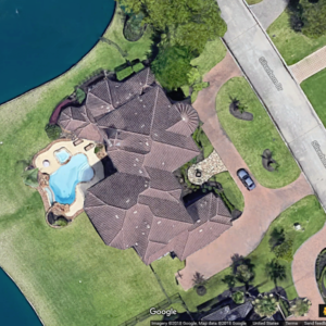
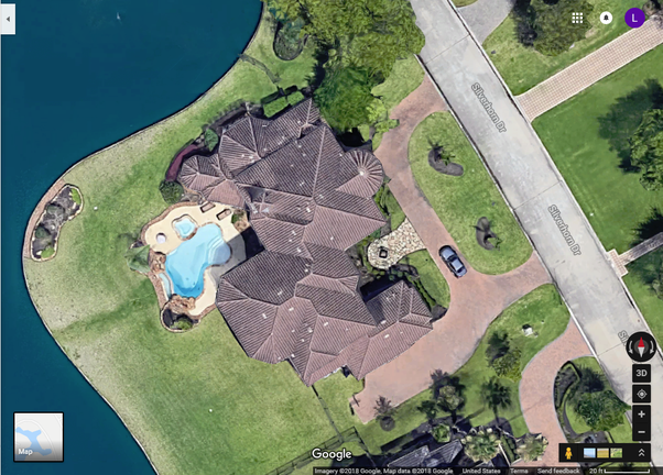
Satellite Roof Reports are revolutionizing the way roofing professionals gather data. By using high-resolution satellite and aerial imagery, contractors and project managers can remotely calculate a roof’s dimensions without ever stepping on a ladder. These tools enhance safety, accuracy, and efficiency across every phase of a roofing project.
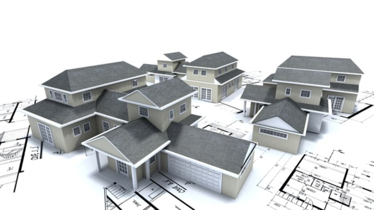
2. What’s Included in a Roof Measurement Report
A professional satellite roof report offers a detailed look at every part of the roof, using remote sensing and modeling. Key features include:
Precise measurements of area, pitch, and perimeter
Identification of ridges, hips, valleys, rakes, and eaves
Detailed dimensions for each edge and slope
Accurate roof pitch data
Cloud-based access and downloadable formats
This makes remote estimates more accurate, reducing the need for rework and guesswork.
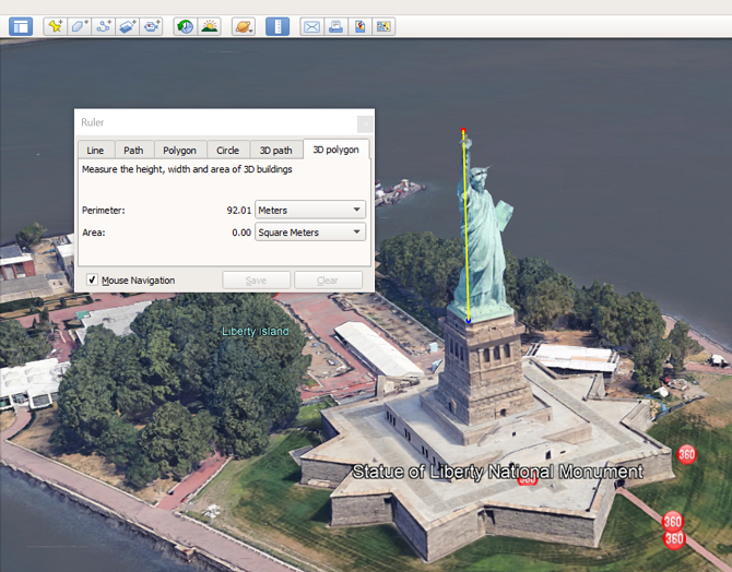
3. Accurate Roof Pitch Satellite Roof Reports Measurements
Roof pitch impacts everything—from drainage to material requirements. With Satellite Roof Reports Measurements, the pitch is determined using digital elevation models and image analysis, which eliminates the risk and inaccuracy of manual methods. This ensures your pitch values are spot-on and ready to use for estimates, bids, or solar planning.
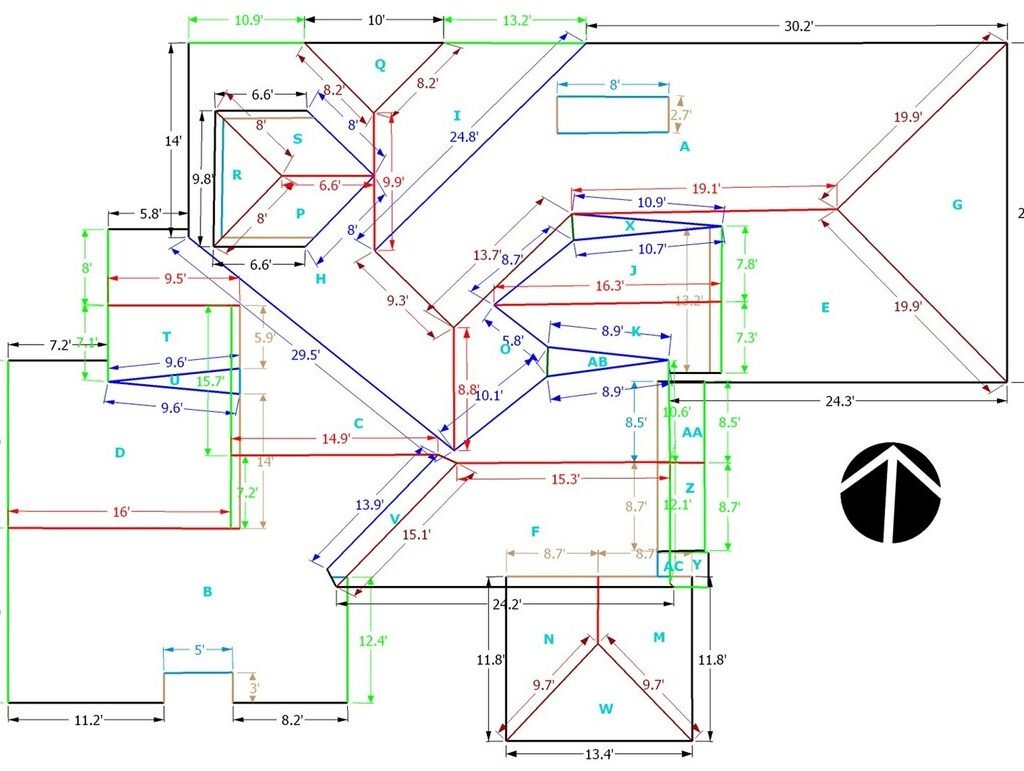
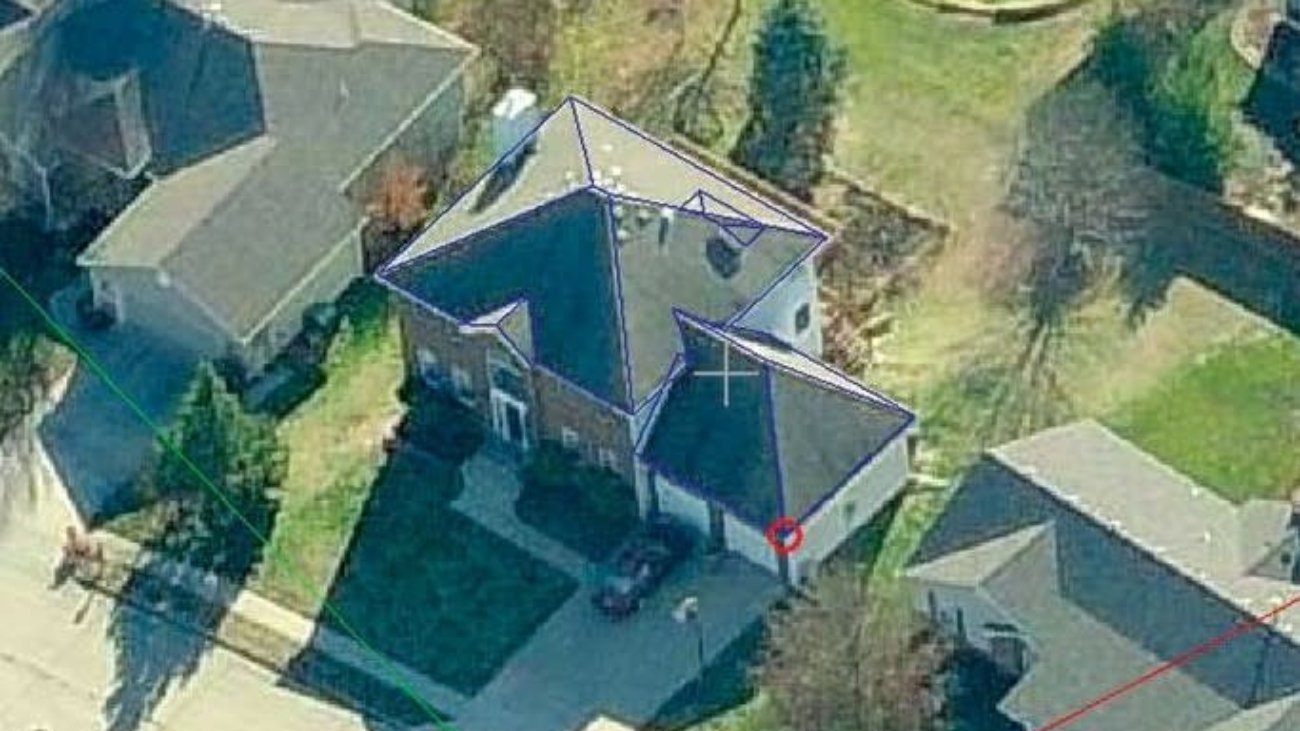
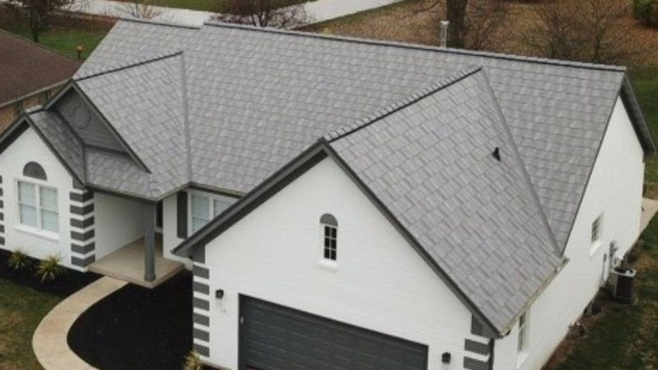
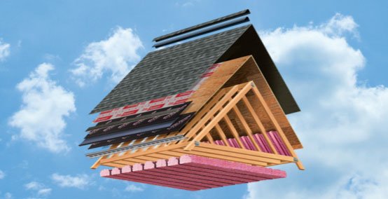
4. Roof Geometry: Every Edge Measured
A satellite-based roof report includes all major structural elements:
Total Area: Surface area of all roof planes
Ridges: Horizontal high points where two roof planes meet
Hips: External angles where two sloped planes join
Valleys: Internal angles formed by intersecting planes
Rakes and Eaves: Sloped and horizontal roof edges
Each line and slope is independently measured and labeled, giving you total confidence in your takeoffs and calculations.
5. CAD-Style Visuals and Diagrams
Each report includes CAD-style drawings that clearly identify every roof edge using color-coded lines. These visuals are perfect for:
Jobsite reference
Subcontractor instructions
Material planning
Customer presentations
The drawings are easy to read and understand, making communication smoother across all teams.
6. Cloud Access for Teams and Partners
Your team doesn’t need to download or install anything. Reports are hosted in the cloud, making them instantly accessible to:
Employees
Subcontractors
Vendors and suppliers
This online system improves coordination, ensures everyone has the latest data, and helps prevent delays or errors due to outdated info.
7. Nationwide Coverage and Image Sources
With more than 98% coverage of the USA and Canada, satellite roof services are widely available. Providers pull from multiple satellite and aerial image sources to ensure you get:
The most up-to-date images
The highest resolution possible
Reliable data, even in rural or partially obstructed areas
This broad coverage ensures you can order a roof report for nearly any structure.
8. Multiple Export Formats
Satellite Roof Measurements can be exported in several industry-standard formats to fit your workflow, including:
XML: For digital records and integration
RXF: Used in roofing software
DXF/DWG: Ideal for CAD and drafting platforms
WRL: Supports 3D modeling and visualization tools
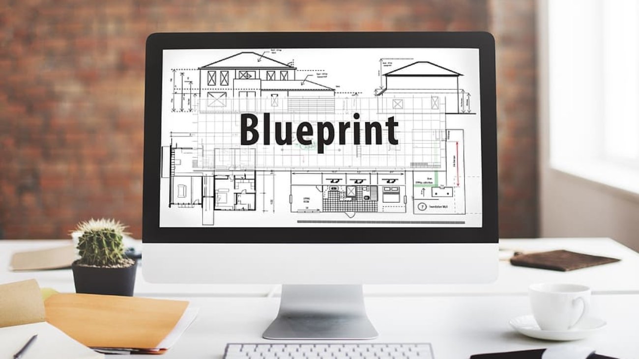
You can easily import the data into estimation tools, blueprints, or renderings.
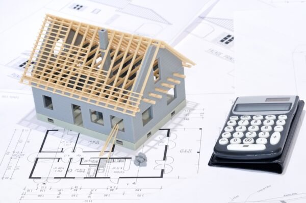
9. Satellite Roof Reports Pricing: What to Expect
When ordering a report, Satellite Roof Reports typically depend on:
Roof size and complexity
Image availability in your area
Standard vs. rush delivery
Level of detail requested (basic vs. full CAD)
Some services offer flat rates, while others charge per square foot or report complexity. Most pricing is cost-effective when considering time saved, safety improvements, and reduced material waste.
10. Who Uses Satellite Roof Reports?
These services are valuable across multiple industries:
Roofers and contractors – for bids, repairs, and installs
Solar installers – for panel layout and planning
Insurance adjusters – for remote storm damage assessments
Property managers – for large-scale roof tracking
Architects – for as-built design and planning
By providing precise data without needing to visit the property, satellite roof reports enhance both speed and accuracy.
11. Benefits at a Glance
No climbing or measuring tools needed
Fast turnaround (often within 24 hours)
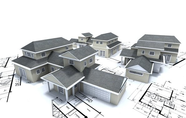
Detailed 3D models and CAD visuals
File flexibility for all major platforms
Affordable Aerial Roof Reports & Pricing
Nationwide coverage with excellent accuracy
Ideal for residential, commercial, and industrial projects
12. Conclusion: The Future of Roof Estimation
Satellite Roof Measurements are more than just a tech trend—they’re a vital tool for modern roofing professionals. Paired with clear, affordable Aerial Roof Reports & Pricing, this technology ensures you get fast, accurate, and detailed roof data for any project.
Get fast, accurate Aerial Roof Reports with complete measurements including pitch, area, and edge details.
Our detailed 3D roof reports are perfect for contractors, insurers, and solar installers.
Access your reports online—no software needed, fully shareable with your team.
Reliable pricing and nationwide coverage with over 98% image availability.
Whether you’re quoting jobs, ordering materials, or planning a solar install, satellite data gives you the confidence and accuracy to get it right the first time—without the risks of on-site measuring.
Please Fill Out The Form Below -

Report Benefits: Quick, Accurate, Easy, Cost Effective
- * Eliminates time wasted traveling to and from sites.
* Increases measurement accuracy.
* Eliminates safety risks of roof climbing.
* Eliminates delays due to bad weather.
* Fast report delivery.